
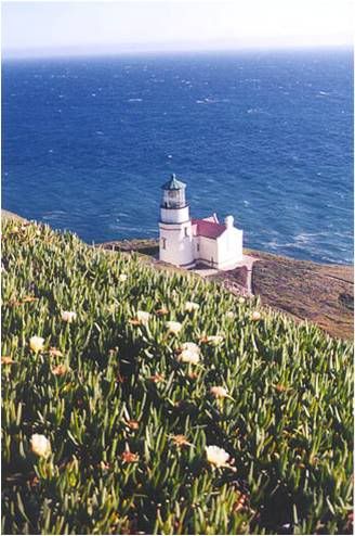
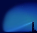
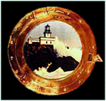
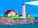
Most of the California coast runs in a general north-south direction, but along the Santa Barbara channel, it changes to more of an east-west direction. At the western end of this channel, the coast makes an abrupt 90-degree turn northward. This transition point, which some early explorers termed the Cape Horn of the Pacific and where mariners following the coast have to make a severe course correction, was the site selected for the Point Conception Lighthouse.
Photo Text & Copyright www.Lighthousefriends.com


Sem comentários:
Enviar um comentário