The Fraser River, the longest river in British Columbia, empties into the Strait of Georgia just south of Vancouver, after flowing over 1,300 km (870 miles) from the Canadian Rockies. The river is named after Simon Fraser, who in 1808 led an expedition on behalf of the Montreal-based North West Company from the site of present-day Prince George to the mouth of the river.
A small quantity of gold sent to the San Francisco mint in early 1858 by James Douglas, governor of the Colony of Vancouver Island, triggered a stampede of 30,000 prospectors to Victoria, which then had a population of just 500, and from there up the Fraser River to the site of the discovery on the Thompson River. Fearing this influx of Americans might challenge British sovereignty in the region, the Colony of British Columbia was hastily formed on August 2, 1858, with New Westminster, situated on the Fraser River, as its capital. The Colony of the Queen Charlotte Islands merged with British Columbia in 1863, and Vancouver Island followed suit three years later, in 1866.
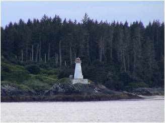
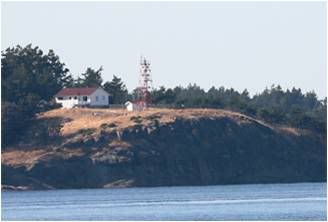
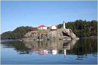
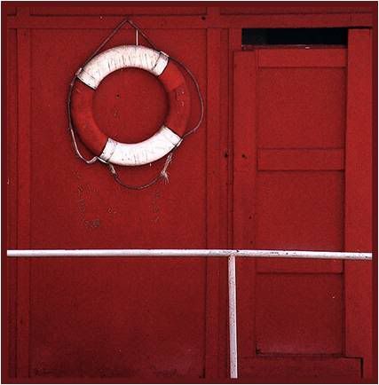
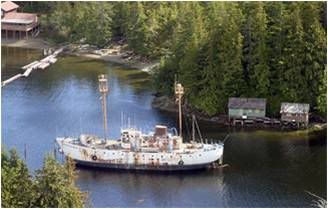
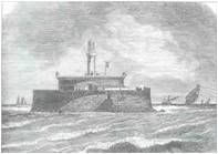
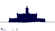
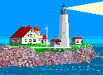
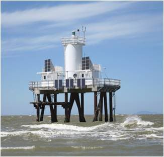
In the spring of 1859, petitioners demanded a lightship to mark the Fraser River’s mouth, whose position was ever changing due to the roughly twenty million tons of sediment that emptied into the Strait of Georgia each year. A vessel was finally built in New Minster in 1865, named South Sand Heads, and anchored at the southern side of the entrance to the Fraser River in 1866. A heavy westerly gale in November 1871 severely damaged the vessel, and during the ensuing repairs, its fog bell was removed from the forepart of the ship, to make room for a new windlass, and suspended near the crew cabin. As a result, the keepers were less vigilant in ringing the fog bell, as being so close to the habitable part of the vessel it rendered existence almost insufferable. According to an 1872 report, the lightship was equipped with eight Argand lamps, and its hull was painted red.
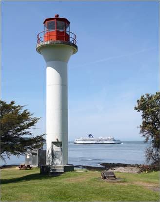
Photo Text & Copyright www.Lighthousefriends.com