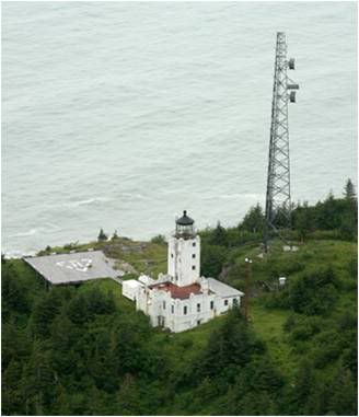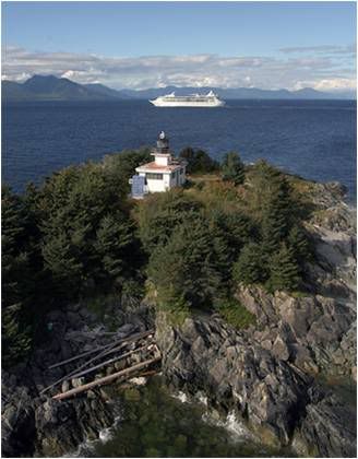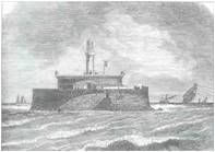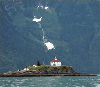
Hurricane winds, estimated at ninety miles per hour, were howling down narrow Lynn Canal as the Clara Nevada started her multi-day journey from Skagway to Seattle. It was February 5th, 1898, near the peak of the Alaskan gold rush, and the three-masted passenger ship was loaded with over 800 pounds of the prized mineral, an illegal shipment of dynamite, and some one hundred passengers, including more than one frustrated fortune seeker. Just over thirty miles into her southward voyage, the ship ran aground at Eldred Rock and exploded into flames.
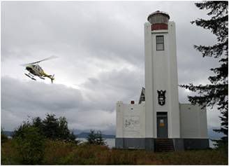
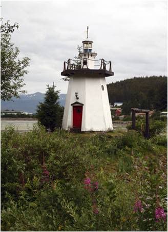
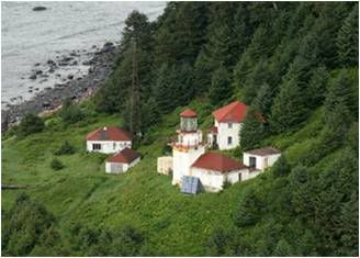
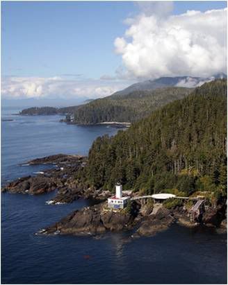
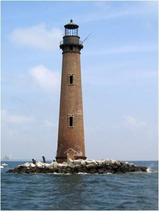
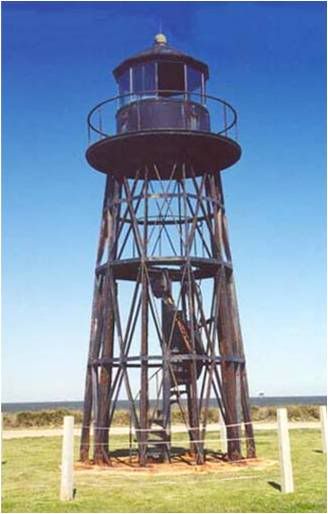
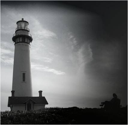
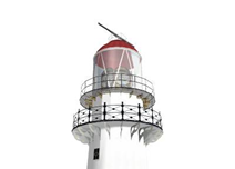
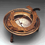
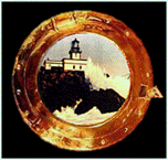
Photo Text & Copyright www.Lighthousefriends.com